1
/
of
1
National Oceanic and Atmospheric Administration (NOAA)
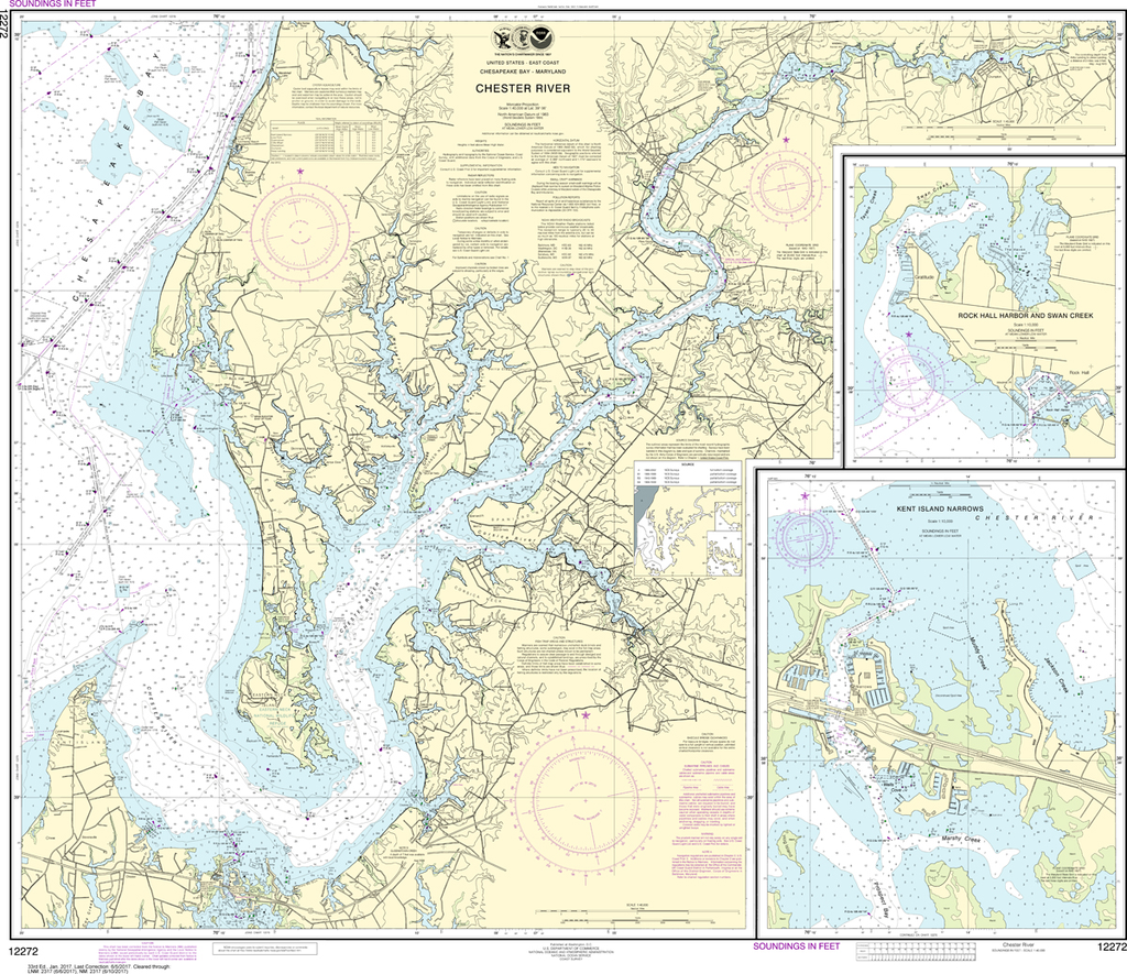
NOAA Chart 12272: Chester River, Kent Island Narrows, Rock Hall Harbor and Swan Creek
NOAA Chart 12272: Chester River, Kent Island Narrows, Rock Hall Harbor and Swan Creek
Regular price
$23.75 USD
Regular price
Sale price
$23.75 USD
Unit price
/
per
Shipping calculated at checkout.
Couldn't load pickup availability
Region: Mid-Atlantic
Paper Size: 44" x 36"
Chart Image Size: 35" x 40"
Scale: 1:40,000
Share