1
/
of
1
National Oceanic and Atmospheric Administration (NOAA)
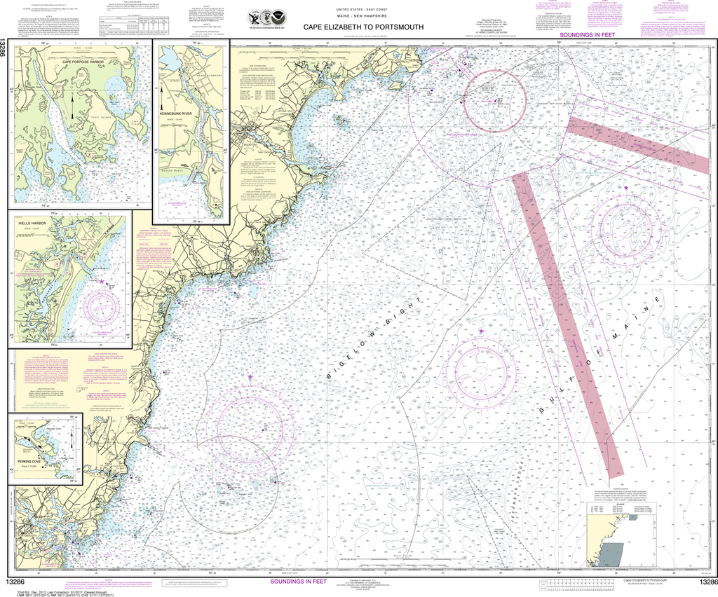
NOAA Chart 13286: Cape Elizabeth to Portsmouth, Cape Porpoise Harbor, Wells Harbor, Kennebunk River, Perkins Cove
NOAA Chart 13286: Cape Elizabeth to Portsmouth, Cape Porpoise Harbor, Wells Harbor, Kennebunk River, Perkins Cove
Regular price
$23.75 USD
Regular price
Sale price
$23.75 USD
Unit price
/
per
Shipping calculated at checkout.
Couldn't load pickup availability
Region: Northeast Atlantic
Paper Size: 45" x 36"
Chart Image Size: 34" x 41"
Scale: 1:80,000
Share